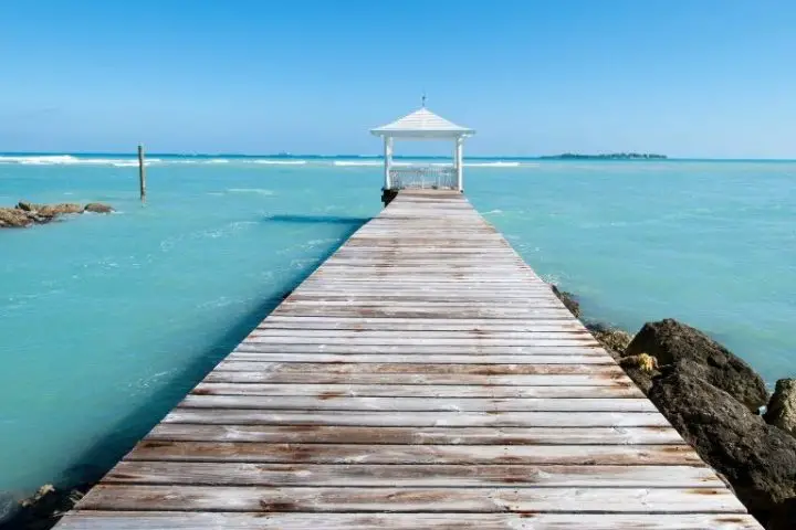
There are very few places on earth as beautiful as The Bahamas. This archipelago of more than 700 islands starts off of Florida and stretches across the southwestern Atlantic, almost to the northern parts of the Caribbean. The islands are world-renown for their stunning gin-clear waters, friendly locals, and laid-back island style.
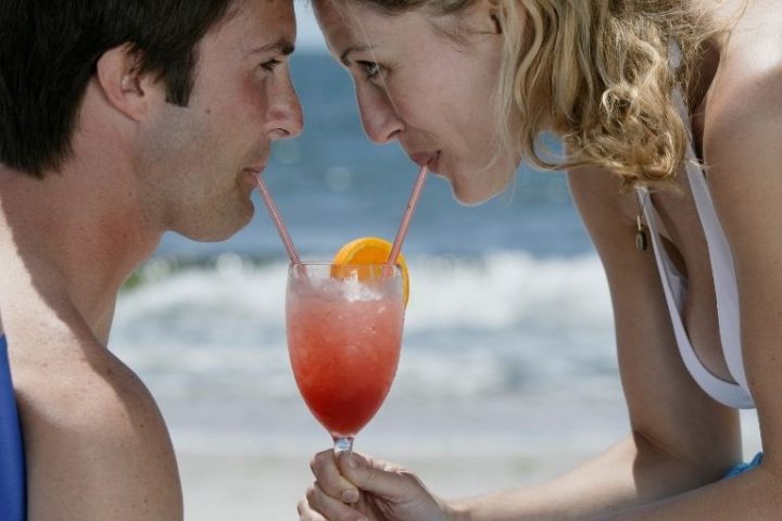
If you dream of sipping rum punches on the beach or watching starfish crawl along the sandy bottom from the deck of your boat, The Bahamas are the place to go. Most vessels start their Bahamian adventure from Florida. So let’s dive into those gin-clear waters and take a look at what a trip would look like and what you could expect.
Table of Contents
- What and Where are The Bahamas?
- Destinations Within The Bahamas
- When Should You Sail to The Bahamas?
- Crossing the Gulf Stream
- What Kinds of Boats Can Go To The Bahamas?
- Best Routes to Get to The Bahamas From Florida
- Bahamas Customs and Immigration Requirements
- Final Thoughts

What and Where are The Bahamas?
The Bahamas, or more properly The Islands of The Bahamas, is a sovereign nation made up of over 700 islands and smaller cays (pronounced “keys”). Only a handful of these islands are inhabited. The islands stretch for more than 500 miles from just off of the coast of Florida until they almost touch Hispaniola.
The Bahamas were a British Crown Colony until 1973. The country is now an independently-governed Overseas Commonwealth.
Unlike the mountainous Caribbean nations farther south, The Bahamas are low-lying coral islands and cays with very little topography. There are many shallow sea areas, known as the Banks, which are separated by deep stretches of open ocean. Navigating between the islands involves playing the weather carefully and navigating both shallow coral-strewn waters and deep bluewater passages.
The country is divided up into distinctly different cruising areas for boaters. Each separate island group within The Bahamas has its own attractions. In the country’s center is New Providence Island, home to the nation’s capital—Nassau. Every island that is away from Nassau is referred to as an “Out Island.” Some also call them the “Family Islands,” since often, workers in Nassau will come from these islands and have family back there.
Destinations Within The Bahamas
Organized roughly from north to south—
- The Abacos
- Grand Bahama Island and the city of Freeport
- The Berry Islands
- The Bimini Islands
- New Providence Island, Paradise Island, and the city of Nassau
- Andros
- Eleuthera
- The Exumas and Great Exuma Island
- Cat Island
- Long Island
- Rum, Conception, and San Salvador Islands
- The Ragged Islands
- Acklins and Crooked Islands
- Mayaguana and Inagua Islands
Of these island groups, the two most popular destinations for US boaters are the Abacos and the Exumas. Of course, the other islands hold special appeals too, but it’s the Abacos and Exumas that keep visitors flocking back year after year. These are the spots constantly featured in magazines and discussed in detail during many dockside cocktail hours.
It’s also worth noting that The Bahamas lie along what is known amongst sailors as “The Thorny Path.” This is a route to the eastern Caribbean that can be made with a minimum of long passages. If you play the weather right and want to make the journey with as little time “offshore” as possible, you can island-hop your way from Florida to Grenada with only a handful of overnights at sea.
When Should You Sail to The Bahamas?
Picking the time of year you want to sail The Bahamas should be first and foremost on your mind. The primary boating season for the country is from December through May, which coincides both with the coldest winter months up north and the months with nearly no tropical storm or hurricane activity in the Atlantic basin.
During this time of year, the weather is much like Florida. The average daytime temperatures in the northern Bahamas seldom get below 70, but the occasional cold front can bring a brief blast of cold air.
These cold fronts are the primary weather event during the winter months that boaters need to be aware of. They bring with them the potential for short-lived albeit strong thunderstorms and a few days of strong northerly winds. Luckily, cold fronts are forecast well in advance.
June 1st through November 31st is officially hurricane season in the western Atlantic, a fact that you cannot ignore if traveling to the islands. The Bahamas are precisely located within the hurricane danger zone, and if you find yourself in this zone during this time of year, you will need to take special precautions.
It is still busy with American vessels during hurricane season. But during these summer months, most visitors arrive by fast-moving powerboat or yacht from Florida. If a storm pops up, they know that they can be back in Florida in one or two days and safely back in their home slip.
The problem with being in The Bahamas during the summer months for slower vessels is that there is no safe harbor available. There are a few hurricane holes, and marinas tucked “inland.” But in a nation where the largest islands are only a few miles across, “inland” provides scant protection.

Crossing the Gulf Stream
The biggest challenge in crossing to The Bahamas from anywhere in the United States is the mighty Gulf Stream current. The Gulf Stream is one of the world’s great ocean currents. It transports warm waters heated by the Caribbean sun northbound along the east coast of the US, between Florida and the Bahamas, before hooking east and heading for the United Kingdom.
The Gulf Stream moves as fast as three knots in some places off of the Florida coast. This has two effects for boaters. Firstly, it can create some horrid sea conditions. Off of Florida, where the current sets northbound, any wind blowing out of the north will build up a steep nasty chop. Sea conditions can quickly become dangerous for many vessels and uncomfortable for all vessels.
Secondly, the north-setting current means that slow-moving boats will need to make a strategic plan for their crossing. Much like crossing a 50-mile-wide river, the speed of the current is not uniform for the entire trip. Therefore, you must take the average current into account, and a correction to your desired course should be applied early in the trip. GPS makes planning these trips more straightforward, although the more planning you do in advance, the better you will do.
The Gulf Stream is not unlike any other body of water—it has the potential to be gnarly on bad days. But it can be as calm as a millpond on a good day. Weather planning and interpretations are vital parts of cruising The Bahamas, not just for the Gulf Stream crossing but for your enjoyment of cruising the islands overall.
What Kinds of Boats Can Go To The Bahamas?
The limiting factor of what sort of boats can go to The Bahamas is the weather for the crossing. On calm days, jet skis have successfully crossed from Florida and back again. Many open fishing boats and smaller vessels cross and stay in resorts and hotels on the islands.
But most people who go want to cross in a cruising vessel and live aboard while cruising in remote areas far removed from resorts. Indeed, this is the ideal way to travel to these islands. The locals welcome visiting yachts regularly, and there are enough places to stay and explore that you can be kept occupied for many seasons.
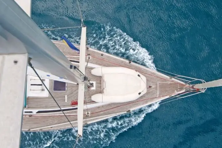
Both sail and powerboats routinely make the trip. While the trip requires crossing some very deep “blue water,” these passages are usually 50 miles or less. So with the right weather, even coastal cruisers can make the trip safely.
Full-service marinas, diesel, and gas are available in many locations as you work your way east and south. However, once beyond George Town on Great Exuma, marinas and fuel options become much more limited. As a result, motor vessels usually turn around at George Town, although plenty can continue to the Caribbean if they can carry enough fuel.
Best Routes to Get to The Bahamas From Florida

Most cruisers take their Bahamian adventure in short hops between weather systems. This provides the opportunity to minimize long passages and break up the longest parts of the trip.
The two most common landfall points for arrival into the islands from Florida are Freeport on Grand Bahama Island and Bimini. Grand Bahama is a good entry point for cruisers bound for the Abacos, while Bimini lies along the best route to get to the Exumas.
Remember that the north-setting Gulf Stream lies between Florida and these points. If a slow boat is headed east across the Gulf Stream, the farther south they start their journey, the better. If a six-knot boat leaves Fort Piece and heads southeast towards the islands, more or less directly into the Gulf Stream, their speed over the ground could fall to as little as three knots. No one wants to putter across the Gulf Stream at three knots. Go-fast powerboats seldom care, but sailors will want to plan carefully.
The prevailing winds in this part of the world are from the east or southeast, making finding a day when the winds are not directly on the nose tricky. Many boats hole-up in West Palm, Lauderdale, and Miami waiting for a “weather window” to cross. As a result, you’ll rarely be alone when you decide to cross the Gulf Stream.
North Crossings
Common departure points include the Fort Pierce, St. Lucie, and Lake Worth (West Palm Beach) Inlets. These routes from Lake Worth to West End, Grand Bahama, is approximately 55 nautical miles.
In a slow sailboat, this trip will take about nine hours. In a fast trawler, it will be closer four.
From the Old Bahama Bay Resort in West End, you can head northeast across the Little Bahama Bank to the Abaco cays. This is one of the most popular cruising areas in The Bahamas. In the protected and shallow Sea of Abaco, you can hop your way between great cruising ports like Green Turtle Cay, Man-o-War Cay, Hope Town on Elbow Cay, and Treasure Cay.
Most people will take two days to get from West End to Green Turtle Cay in the Abacos, a journey of about 100 nautical miles.
South Crossings
Common departure points include Port Everglades (Fort Lauderdale), Miami, or the upper Florida Keys. Miami to Bimini is approximately 48 nautical miles, while Miami northeast to West End, Grand Bahama is approximately 85 nautical miles.
For the shorter leg, this trip would take a little more than eight hours in a typical six-knot sailboat. A 15-knot fast-trawler could do it in four or so, while a fast speed boat could do it in three or less.
The logical route east into the islands crosses the Great Bahama Bank to the Berry Islands from Bimini. You can then cross the Northeast Providence Channel to arrive in Nassau, Eleuthera, or cross the Bank again to come into the northern Exuma Cays.
The crossing from Bimini to the Exumas can be divided up in many ways. It’s about 150 miles to the great cruising that starts around Highbourne Cay in the Exumas. But, of course, there are plenty of places you could stop for a night or a week, depending on how much you liked it.
Bahamas Customs and Immigration Requirements
These stop-over points on the way to the cruising ground are not entirely arbitrary. All inbound vessels must clear both customs and immigration upon arrival, and both West End and Bimini have facilities for doing just that.
Your first stop in The Bahamas must be at a port of entry. You cannot even land at an uninhabited sandbar until you have “cleared in.” The customs fees for entering The Bahamas range from $300 to over $2,000, depending on the length of your stay and your boat’s size.
There are many other ways to plan your trip and many other ports of entry that you could use. A complete list is available on the Bahamas boater information page.
Final Thoughts
There is plenty to learn and some challenges to overcome if you decide to sail from Florida to The Bahamas, but it’s all well worth the effort. The waters in the islands are clearer, the beaches more secluded and private, and the rum drinks are tastier and stronger. Basically, The Bahamas represent everything people who buy boats dream of—they are the place in the sunset that you want to sail away to. Interested in liveaboard marinas in Florida, visit our guide!
